

Mastering old-school pirate navigation techniques involves mastering celestial navigation, using a compass, and dead reckoning. You'll need to identify key constellations like the North Star and the Southern Cross to guide your way. A sextant helps measure the angle between stars and the horizon, while a compass determines cardinal directions. Use nautical charts to plot courses and track your position. Understanding tides and weather guarantees safe passage, and depth sounding helps avoid underwater hazards. Coastal piloting and knot-tying techniques like the bowline and clove hitch keep your ship secure. There's much more to discover about charting a course like a true pirate.
Celestial Navigation
Celestial navigation, the ancient art of using the stars to chart a course, is a skill every aspiring pirate must master. Imagine yourself on the deck of a pirate ship, the sea stretching endlessly around you. With no landmarks in sight, the night sky becomes your map. By learning to read the stars, you'll always know where you're headed.
First, you need to identify key constellations. The North Star, or Polaris, is vital for finding true north. Locate the Big Dipper; its outer edge points directly to Polaris. Next, familiarize yourself with other constellations like Orion and the Southern Cross, which can guide you depending on your hemisphere.
Using a sextant, measure the angle between a star and the horizon. This angle, known as the star's altitude, helps determine your latitude. By recording the exact time of your measurement, you can cross-reference with nautical almanacs to pinpoint your location.
Don't forget to practice regularly. The more comfortable you are with identifying constellations and using a sextant, the more accurate your navigation will be. Mastering celestial navigation guarantees you'll never lose your way, even on the darkest nights.
Using the Compass
When the stars are hidden behind clouds or the sun blazes too brightly to see them, a trusty compass becomes your best friend. This simple yet essential tool points you in the right direction, guiding you through uncharted waters. To use a compass effectively, you need to understand how it works. The needle always points north due to Earth's magnetic field. This reliable reference helps you determine any direction.
First, hold the compass flat in your hand. Make sure it's level to allow the needle to move freely. Next, rotate yourself until the needle points to the marked north on the compass. Now, you know where all cardinal directions lie. If your destination lies east, for instance, turn until you're facing east, and sail straight in that direction.
Dead Reckoning

While a compass serves you well, there will be times when you need more than just magnetic north to navigate accurately. That's where dead reckoning comes in. This technique estimates your current position based on a previously known location, speed, time, and course. Fundamentally, you're calculating where you should be, even if you can't see landmarks or celestial bodies.
To start, note your last known position. Then, use your compass to set a course. Track your speed using a log line or time your progress between two points. Multiply your speed by the time traveled to estimate the distance. Finally, adjust for any known currents or winds that might have pushed you off course.
| Step | Action | Tool Needed |
|---|---|---|
| 1 | Note last known position | Map/Chart |
| 2 | Set course | Compass |
| 3 | Track speed | Log Line/Timer |
| 4 | Calculate distance traveled | Math skills |
| 5 | Adjust for currents/winds | Observations |
Dead reckoning isn't perfect, but it's a reliable technique that's kept many a pirate on course. Practice it, and you'll sail confidently, even when the stars and land are out of sight.
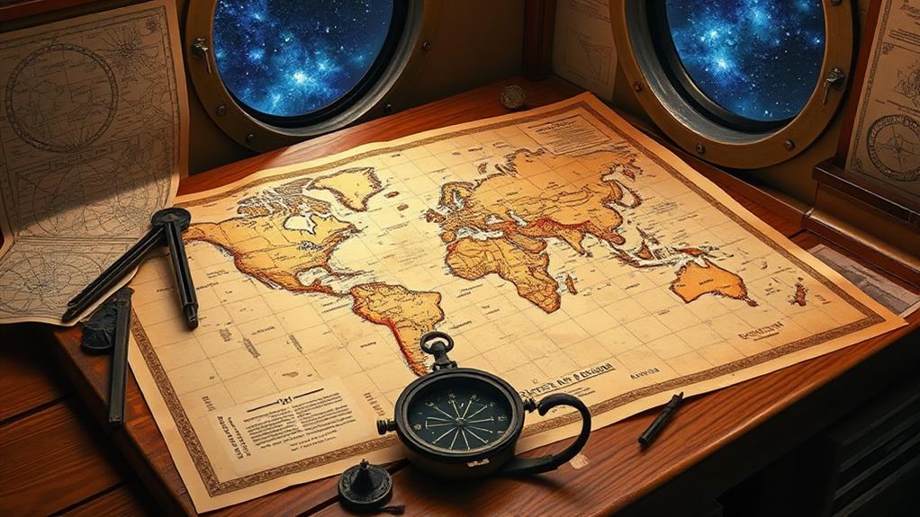
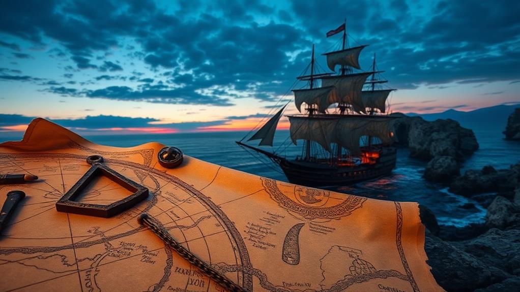
Reading Nautical Charts
Piloting the high seas requires a firm grasp of reading nautical charts, which are fundamentally your maritime roadmaps. These charts provide critical information about water depths, hazards, and navigational aids, ensuring you steer clear of danger and reach your destination safely.
First, familiarize yourself with the chart's legend. It decodes the symbols and abbreviations used throughout the chart. Next, note the scale to understand distances accurately. Different scales offer varying levels of detail, so choose the right one for your voyage.
Pay attention to contour lines, known as isobaths, depicting underwater terrain. Closely spaced lines indicate steep slopes, while widely spaced lines suggest gradual inclines. This helps you avoid shallows and submerged rocks.
Look for navigational aids like buoys and lighthouses marked on the chart. These are your guiding beacons. Correspond them with your surroundings to verify your position.
Don't forget about compass roses on the chart, displaying true and magnetic north. Use them to plot your course. Align your compass with the chart's rose for accurate readings.
Lastly, note any annotations regarding currents, shipwrecks, or restricted areas. These are essential for avoiding unexpected dangers. With practice, reading nautical charts becomes second nature, keeping you on course for adventure.
Understanding Tides
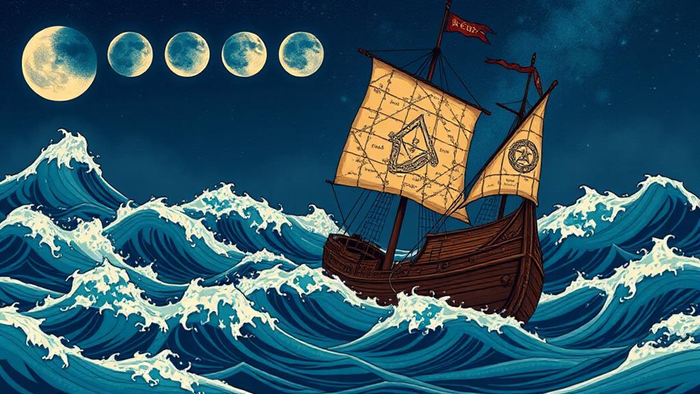
Now that you've mastered reading nautical charts, it's time to grasp another fundamental aspect of maritime navigation: understanding tides. Tides are the regular rise and fall of sea levels caused by the gravitational forces of the moon and the sun, along with the rotation of the Earth. They can greatly affect your ship's route, speed, and anchoring.
First, familiarize yourself with the terms "high tide" and "low tide." High tide is when the water level is at its highest, and low tide is when it's at its lowest. Knowing the timing of these tides is vital for safe passage through shallow waters and for entering and exiting harbors.
Next, use a tide table to determine the exact timing and height of the tides at your location. These tables are usually found in nautical almanacs or online resources. They provide you with the necessary information to plan your movements effectively.
Keep in mind the tidal range, which is the vertical difference between high and low tide. A larger tidal range means stronger tidal currents, which can impact your ship's speed and direction. Understanding these dynamics helps you navigate more safely and efficiently.
Wind and Weather
Understanding the wind and weather is crucial for mastering pirate navigation. You'll need to read the sky and feel the breeze to plot your course effectively. The wind isn't just a force; it's your ally, pushing your vessel to distant shores. Start by identifying wind patterns. These clues can help you predict storms or find the best routes.
Consider the following wind directions and their implications:
| Wind Direction | Implication |
|---|---|
| Northerly | Cooler air, potential storms |
| Easterly | Dry winds, clear skies |
| Southerly | Warm air, smooth sailing |
| Westerly | Moist air, possible rain |
| Variable | Unpredictable, requires caution |
Weather patterns are equally essential. Dark clouds on the horizon often signal incoming storms, while clear skies promise safe passage. Pay attention to changes in temperature and humidity; both can indicate shifts in weather that may affect your journey.
Navigating by the wind and weather requires practice and keen observation. Keep a weather log to track patterns and refine your skills. With time, you'll learn to read the elements like a seasoned pirate, ensuring your adventures are both safe and successful.
Sun and Stars

As you harness the power of wind and weather, your next ally lies in the heavens above. The sun and stars are your celestial guides, helping you navigate vast oceans with precision. At noon, the sun reaches its highest point in the sky. Use a sextant to measure the angle between the sun and the horizon. This angle, known as the altitude, helps you determine your latitude when combined with the date.
At night, the stars become your primary tool. The North Star, or Polaris, is vital in the Northern Hemisphere. It remains nearly fixed in the sky, directly above the North Pole. Measure its altitude to find your latitude. If Polaris is 30 degrees above the horizon, you're at 30 degrees North latitude.
In the Southern Hemisphere, use the Southern Cross constellation. Extend the line along its longer axis about four and a half times. Where it intersects the horizon is roughly due south. These techniques were invaluable to old-school pirates, enabling them to cross oceans and locate islands with remarkable accuracy. Mastering these celestial navigation skills guarantees you can always find your way, even when land is nowhere in sight.
Depth Sounding
Plumbing the depths of the ocean is crucial for safe navigation and avoiding unseen hazards. Depth sounding, an age-old technique, provides essential information about the underwater terrain. As a pirate navigator, you'll rely on a lead line, a simple yet effective tool to measure water depth. A weighted lead, often marked with fathoms (six feet each), is attached to a sturdy rope.
To use the lead line, lower it over the side of your ship until it hits the seabed. Feel for the slack in the line to confirm it's reached the bottom. Once it has, read the markings on the rope where it meets the water's surface. This tells you the depth below.
It's not just about knowing the depth, though. The lead's base is often coated with tallow or wax, which picks up samples from the seabed. By examining these samples, you can discern if the bottom is sandy, muddy, or rocky—critical information for anchoring and avoiding groundings.
Regularly checking depths as you sail helps you identify changing underwater landscapes, steering clear of dangerous shoals and guaranteeing a safer journey. Depth sounding is indispensable for mastering old-school pirate navigation.
Coastal Piloting
Steering close to shore requires a keen eye and a steady hand, making coastal piloting a vital skill for any pirate navigator. You've got to be vigilant, constantly monitoring landmarks like cliffs, lighthouses, and peculiar rock formations. These natural signposts guide you and help avoid hidden dangers like sandbars or submerged rocks.
Use your compass and charts to plot a course that keeps you in safe waters. Keep an eye on the water's color; darker hues often indicate deeper waters, while lighter shades can mean shallows. Always be prepared to adjust your sails and rudder quickly to navigate through narrow passages or around sudden obstacles.
Keeping a lookout is essential. Assign crew members to scan the horizon for potential hazards like reefs or other ships. Communication is key; relay information promptly to guarantee everyone's on the same page. It's also wise to use a lead line to measure depth regularly, especially when approaching unfamiliar coastlines.
Knot Tying Techniques
Knot tying techniques are crucial for any pirate crew, ensuring the ship's safety and efficiency. You'll find yourself relying on these skills to secure sails, anchor the vessel, and even hoist treasure. Let's plunge into three essential knots: the bowline, the clove hitch, and the square knot.
The bowline is your go-to for creating a fixed loop at the end of a rope. It's perfect for tasks like securing a line to a post or rescuing a crewmate overboard. To tie it, form a small loop, pass the rope's end through the loop, around the standing part, and back through the loop. Tighten it, and you've got a strong, reliable knot.
Next, the clove hitch is ideal for temporarily securing a rope to a post or rail. Wrap the rope around the post, cross it over itself, and wrap it again, tucking the end under the last wrap. This knot is quick to tie and untie, making it perfect for adjustable tasks.
Finally, the square knot is great for joining two ropes of equal thickness. Simply tie a left-over-right and right-over-left knot. It's easy and holds well under tension, perfect for bundling sails or securing cargo.
Master these knots, and your ship will sail smoothly.
At a Glance
In mastering these old-school pirate navigation techniques, you're not just learning to sail; you're embracing the art of maritime adventure. By harnessing celestial navigation, the compass, dead reckoning, and more, you'll find yourself adeptly guiding your vessel through both calm waters and less-than-ideal conditions. With a keen eye on the sun and stars, understanding tides, and practicing knot tying, you're poised to venture beyond the ordinary, charting your own course with confidence and finesse.


